


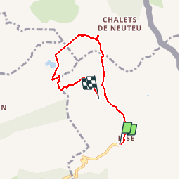

9.2 km | 22 km-effort


User


FREE GPS app for hiking
 SityTrail
IGN / Geographical institutes
SityTrail World
The world is yours!
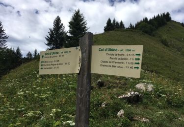
Trail Walking of 5.9 km to be discovered at Auvergne-Rhône-Alpes, Upper Savoy, La Chapelle-d'Abondance. This trail is proposed by tof38.
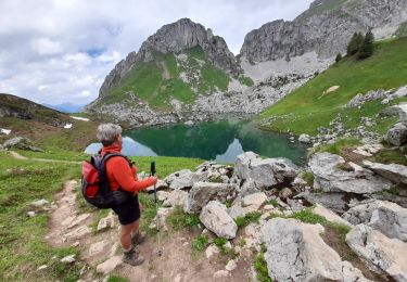
Lors de ballade panoramique sur le lac leman, et nous avons vu de magnifiques bouquetins. Ballade avec des enfants de 8 ans.

Walking

Walking

Walking

Walking

Walking
Walking
Walking
Nordic walking
Walking
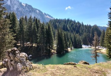
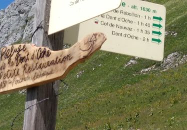
Super rando. Ne pas faire si temps humide car beaucoup de roches qui deviendraient glissantes. Paysage magnifique et grandiose.